

For the first four days on the John Muir Trail we have been hiking from one backpackers campground to another. Today will be the first day we’ll be camping in the “wilderness”, most likely also away from other people. Good!
So there will be no handy tap water or bear boxes in the coming nights.
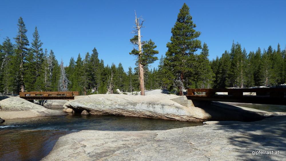
Before we get started, I’m trying to call home. I didn’t get cell phone service so far on the trail, but next to the Tuolumne Meadows store there are two payphones (one of them working). After finding out how to make international calls I more or less successfully call home, partly talking to voice mail systems.
There is also a printed weather forecast hanging at the store: It is supposed to be good for today and tomorrow, then followed by some days with an increasing likelihood of thunderstorms.
At 8:20 we finally get going and walk a short bit on the road to get to the official JMT/PCT route. After half an hour we reach the beginning of Lyell canyon, and at the river crossing there is an ideal swimming place – I can’t resist taking a short dip into the cold water.

The trail now follows the Lyell Fork of the Tuolumne River. Even though hiking upstream there is no significant elevation gain for the next 10 km or more. This means nice and easy hiking for the entire morning.
We take a few breaks at nice spots to have a few bites and to occasionally filter some water. The river would also be a perfect canoeing trip, I have no idea if it would be allowed…


This canyon is supposed to be Bear Central (camping is discouraged and for the first four miles even forbidden) so we’re looking out for the cuddly furry guys, but they prefer not to be seen.

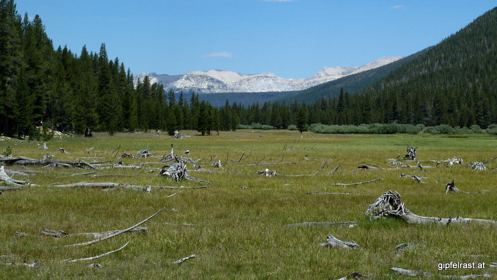
At some point it becomes clear that the smooth hike is coming to an end and the ascent (worth 3000 ft / 1000 m) to Donohue Pass begins.


Kevin seems to have more difficulties with the ascent than I do (that’s probably the difference between living in Belgium and Austria) and at some point he says that he will for sure not go over the pass today. However, I am pretty sure I will…


At the next river crossing he apparently changes his mind (probably because of me) even though it would be a very nice campsite and I promise him that we’ll camp at the first opportunity after Donohue Pass.

There are some nice lakes below the pass, at one of them we make another extended break. The final ascent is flat and easy – at least in my view. I find it a bit disappointing how unspectacular the pass itself is. At the top of Donohue Pass (3370 m / 11560 ft) there is even a lake.


But the view changes dramatically, the mountains are much more alpine and rugged as before. The pass also marks the point where we leave Yosemite National Park and enter Anselm Adams Wilderness.
At the pass I chat with a couple and after revealing that I’m from Austria the response I get is “Ah, that’s where Red Bull comes from!”. So after kangaroos and Arnie this is what our country is nowadays famous for. By the way: A Red Bull can I bought in Berkeley actually was labelled Made in Austria. I wonder if they are really shipping the filled cans across the big pond…

From the pass we also spot a potential camping area, still well above the timberline. When we set up camp there at approximately 10440 ft (3180 m) the sun is still burning down, but it will soon disappear behind the mountains.


In the evening I find the first mosquito bite so far. Up to now these blood sucking monsters have really been harmless. Let’s hope it stays this way.
Of course we store our food properly in our bear canisters (we both use BV500s) and are wondering if we will be visited by a bear tonight. It’s hard to fall asleep, for a while every sound I hear is a “bear sound”. But in the morning our food is untouched.
Distance hiked on JMT: 14.1 mi / 22.7 km
Distance hiked off JMT: 0.5 mi / 0.8 km
Elevation gained: 2500 feet / 750 meters
Time spent hiking (including breaks): 9:00 h
Maps of Day 5 (red = JMT, blue = other trails)


| <<< Day 4: Tuolumne Meadows <<< | Day 5 | >>> Day 6: From Lake to Lake to Lake >>> |
Comments are closed, but trackbacks and pingbacks are open.