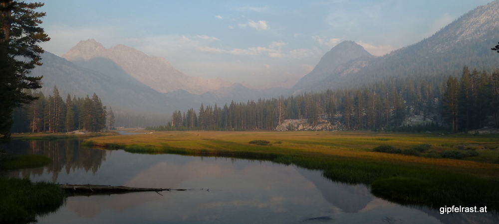

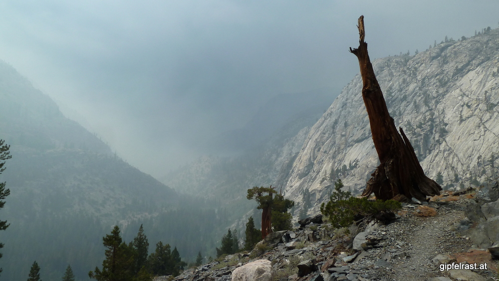
After a windy night at Heart Lake we wake up to a clear sky! The view and the panorama is sooooo much nicer without the smoke!
Today is a special day on our JMT hike: Half way! We will pick up our resupplies at Muir Trail Ranch which is about the same distance from the trailheads in Yosemite Valley and Mount Whitney!
The John Muir Trail is now officially the longest hike I’ve ever done! We are close to the 100-mile-mark, that matches my previously longest hike, when I was section hiking a long distance trail (“Mariazellerweg”) in Austria.
Back in 2009 I covered the distance of roughly 160 km in just 4 days (Beware: above link takes you to a German language post!)


Our goal is to get down to Muir Trail Ranch (MTR) as quickly as possible. We will for sure spend some time there repacking our food and want to reach Evolution Valley in the evening to have a good starting point for Muir Pass tomorrow.
The night was rather windy, in this case it is a good thing, because the wind cleared out the smoke. I hope we will not see any more of it.


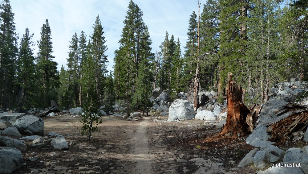
We do not meet many people on the trail this morning, not even when passing the lovely Sallie Keys Lakes which would have made a nice campsite.

The official JMT route bypasses Muir Trail Ranch, but there are cut-off trails for hikers coming from the north and from the south. When I reach the northern cut-off I must be sleeping, because I completely miss it.
That’s not entirely true, because I do see a signpost to Kings Canyon NP which we will enter in the afternoon. I chuckle because I’m happy to see a new destination signposted. However, I do not see the cut-off trail and (worse) I do not – even for a moment – think that the signpost might be there for a reason…
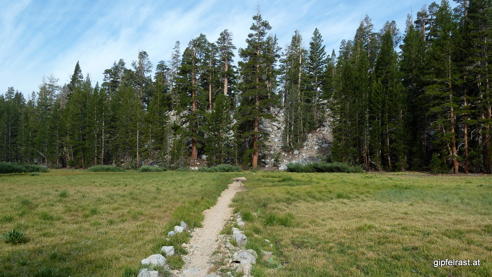
Kevin is far behind and hence I continue on the JMT and get into a real hiking mood, following the nice trail. At one point I check my altimeter and realize that I must have already passed the intersection. Of course, signposts are at intersections, stupid!

Going back up to the intersection is not an option, so shall I go bushwhacking down to the Florence Lake Trail which will lead me to MTR or continue until it joins the JMT? I choose the latter option, overall this causes a detour of about three miles and one extra hour of hiking…
When I finally reach Muir Trail Ranch Kevin is already repacking his food, and once more fixing his hiking boots (he has repeatedly been asking me for duct tape already).


After paying my fees (for shipping and storing my resupply bucket) and buying a new gas canister I get my bucket, wondering how all that food is supposed to fit into my bear canister.
Until the end of the trail, there is no further possibility to buy burgers, chocolate or drinks. All must be carried from here. But that is exactly what I’m on this trail for: 8-10 days without any major signs of civilization!
But I have to admit, that I am a bit worried that I have enough food with me. There would be plenty of food in the hiker buckets (left by other hikers, free to take) but the limiting factor is the space in my bear can.
I also leave my mosquito repellent in the hiker buckets to make room for some extra chocolate bars. So far I didn’t have any bug problems – fingers crossed that it stays that way.
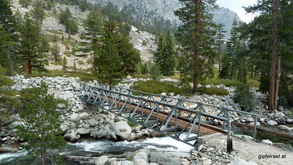
After over an hour we leave MTR south on the Florence Lake Trail. Oh boy, that backpack is heavy now! We get back on the JMT and since MTR we’re following the South Fork of the San Joaquin river upstream. Soon we reach the bridge over Piute Creek which marks the entrance to Kings Canyon National Park, we’re leaving John Muir Wilderness.
Here we meet 16-days-guy again, we haven’t seen him since Vermillion Valley Resort. Apparently he hikes a slower pace than he initially intended. We make a break at the bridge, after a nice chat he leaves before us and is gone again. I wonder if and how often we will see him again.


Some distant thunder reminds us to get going again, also there is a little smoke again blowing up the valley – but far less than yesterday. The thunderstorm seems to catch up and I push quite hard hoping to outrun it. Successfully, I don’t get more than a few drops and before reaching the entrance of Evolution Valley the sky has cleared up again.


Before entering Evolution Valley we have to overcome a short but steep climb, enjoying the raging waterfalls of Evolution Creek.
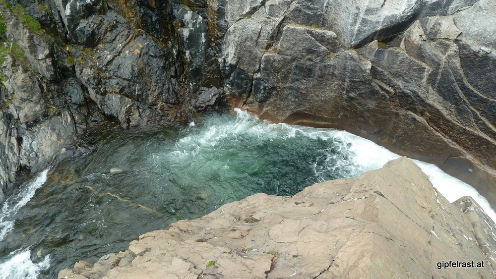

When having to cross Evolution Creek we get our feet wet for the first time on the entire trail. This creek crossing has a particular reputation of being dangerous, requiring waist-deep wades at times.
But this year the gentle stream is less than knee-deep due to the dry winter. It turns out to be a nice cool foot-bath, not more. 😉


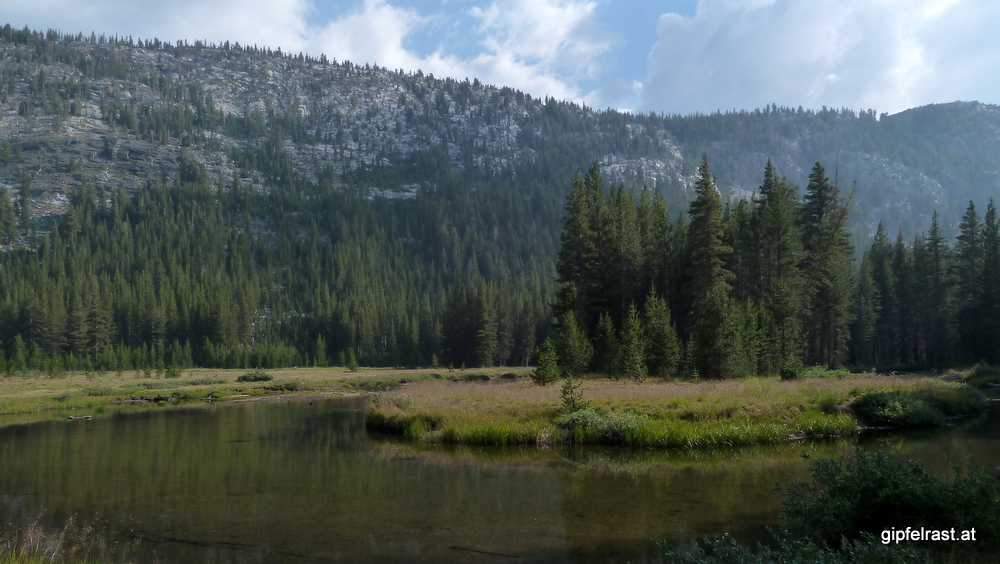
From here to McClure meadow there is some flat and pleasant hiking. We find a very nice campsite close to the creek and a view on McClure Meadow.
I have a Mountain House freeze dried Lasagna with Meat Sauce for dinner. It tastes really good and it seems there be a consensus among non-vegetarian hikers that this is the best of the Mountain House dishes. Only that it says “2 servings” on the package is a joke…

And there’s another milestone we reached today: Less than 100 miles to go!
Distance hiked on JMT: 17.3 mi / 27.8 km
Distance hiked off JMT: 2.8 mi / 4.5 km
Elevation gained: 2000 feet / 600 m
Time spent hiking (including breaks): 10:00 h
Maps of Day 11 (red = JMT, blue = other trails)


| <<< Day 10: Walking into Mordor… <<< | Day 11 | >>> Day 12: Muir Pass >>> |