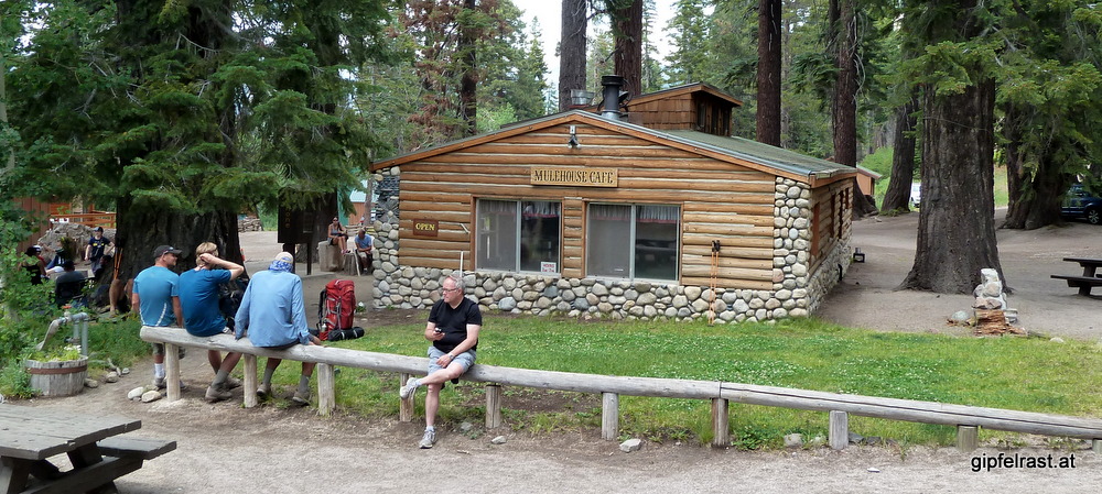
Today a short and uneventful nothing-but-down day is ahead of us. We want to hike just a few miles down to Red’s Meadow resort and spend the night at the campground – and the restaurant.
After skipping dinner yesterday I cook my first warm breakfast on the trail, oatmeal and some granola with blueberries.
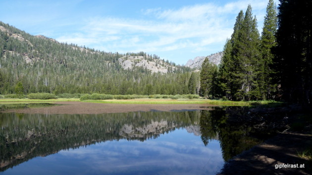
After yesterday’s clouds the weather has cleared up again completely. Rosalie Lake looks very nice in the morning light.
The nothing-but-down day starts with – I should’ve looked at the map! – with a 100 m climb to Gladys Lake. But there the promised descent starts.


At Johnston Lake I stop for the only break on the way to the valley floor. Mostly because I need to filter some water, due to the lower elevations (2400 m / 7800 ft) it is now getting significantly hotter.
Shortly after Johnston Lake the JMT and the PCT reunite, but we leave both trails because we want to see Devils Postpile National Monument, a basaltic rock formation.
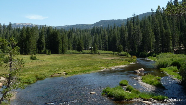
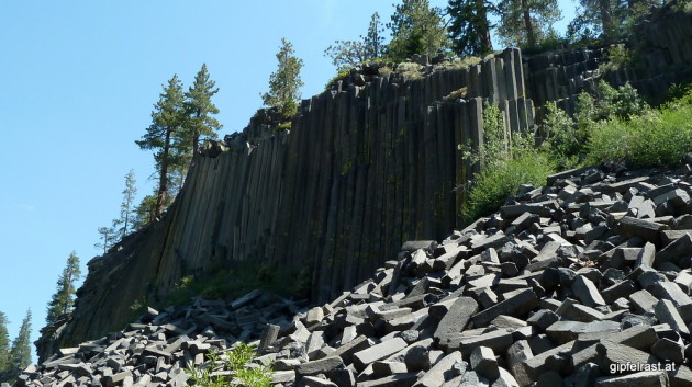
Once there we find it quite underwhelming (That’s it?) and don’t really understand why this attracts so many tourists – maybe because today’s a Sunday? Unless you are a geologist it is not worth to leave the official John Muir Trail route for it. After taking a few pictures we just shrug and leave.
We continue to the campground, and while Kevin leaves to pick up his second resupply package at the store I set up my tent. When he returns he “suggests” hiking on, because other hikers told him that there’s a long climb ahead.

I do not like setting up and tearing down camp for nothing but I do prefer to sleep in the woods to a campground with cars. So I don’t mind and actually I’m quite happy. Fortunately I was not able to find a way to pay for the campsite in the meantime.
I pack my tent and stuff and walk to the store and restaurant where I finally have my (double cheese-)burger. I also buy some smaller supplies (food and chocolate) and sneak two cans of beer into my backpack.
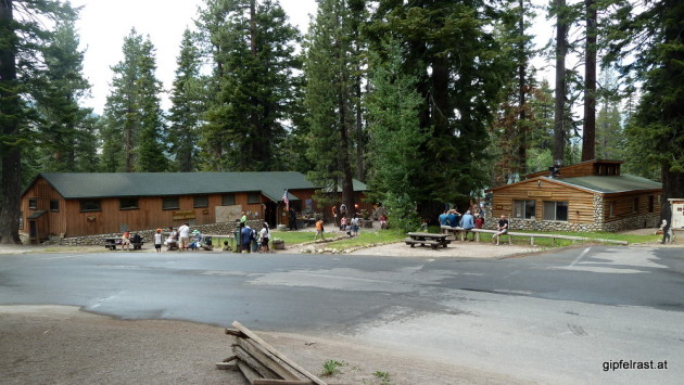
Kevin “repairs” his (rather old) hiking boots with some kind of super glue, but soon after we start hiking again on he asks me for some duct tape to reinforce them. I start wondering if his boots will hold up until he arrives at Mount Whitney? So far I am very satisfied with my choice to hike in trail runners.

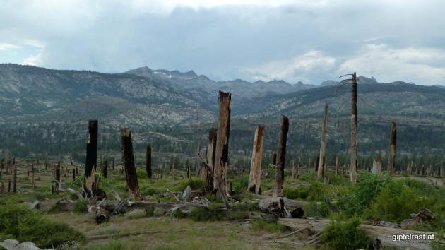
The first camping possibility after Red’s is at Crater Meadow. Once we get there we decide to continue until Upper Crater Meadow to avoid the crowds we expect to camp here tonight.
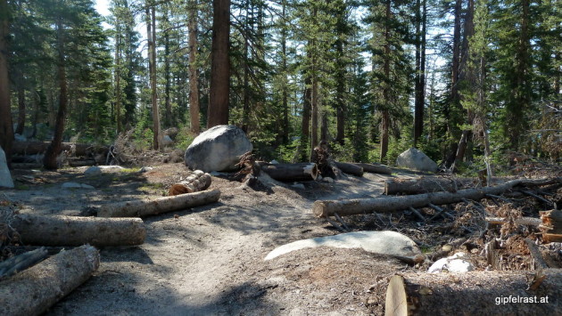
Arriving at Upper Crater Meadow we decide to hike even further. But this time it is because we can’t find a proper campsite there – only lots of fallen trees. It is a long gradual climb, the ascent is barely noticeable.
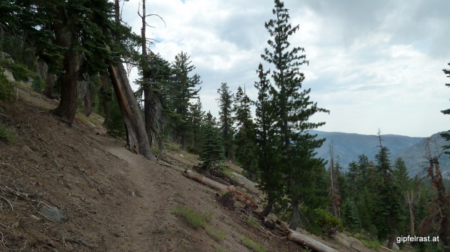
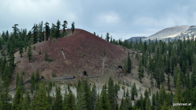
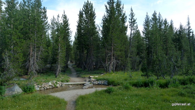
According to Kevin’s trail atlas the last good campsite for many miles is at Deer Creek. Once there we definitely don’t want to go any further tonight.
Three hikers (a father with his two sons) are already camping here, they are sitting next to their tents in full mosquito gear. With their head nets and long sleeves and pants, they look like astronauts from another planet.

However we encounter (almost) no mosquitoes, probalby because we set up our tents a bit further away from the creek. Or they are just not into my type 0 negative blood. When we finally put on long clothes later it is because the air is getting chilly, not because of the bugs.
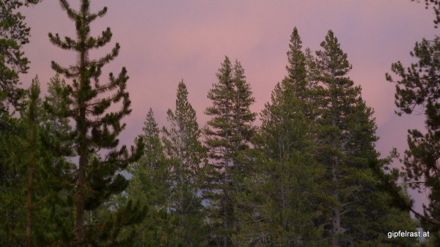
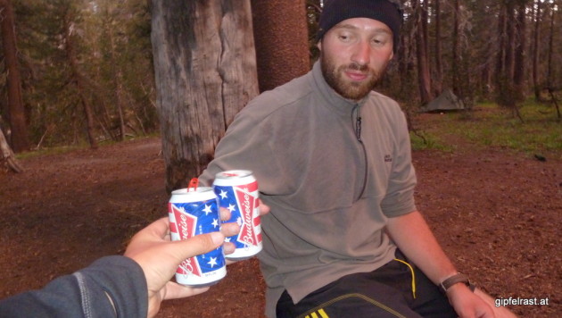
As yesterday dark clouds are building up, but except distant thunder and a few drops nothing happens, so we can enjoy the “beer” (well, it’s Budweiser) sitting outside.
Distance hiked on JMT: 12.2 mi / 19.7 km
Distance hiked off JMT: 1.5 mi / 2.5 km
Elevation gained: 2000 feet / 600 meters
Time spent hiking (including breaks): 10:00 h (estimated, including about 3 hours at Red’s)
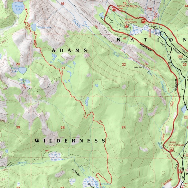
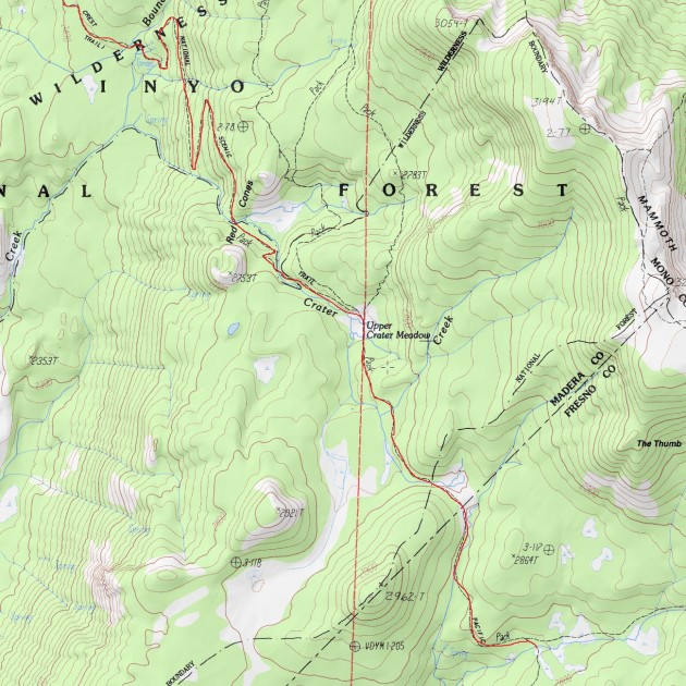
Map of Day 7 (red = JMT, blue = other trails)

| <<< Day 6: From Lake to Lake to Lake <<< | Day 7 | >>> Day 8: A Monotonous Day? >>> |
