Sunshine and clear blue skies in the morning! What a good idea to save Mather Pass for today.
My campsite, however, is still in the shade. Hence I pack up and start immediately – delaying breakfast for later. I have about 1000 ft (300m) left to climb until I reach the pass.
When I reach the pass the amazing views to the other side are completely mind-blowing.

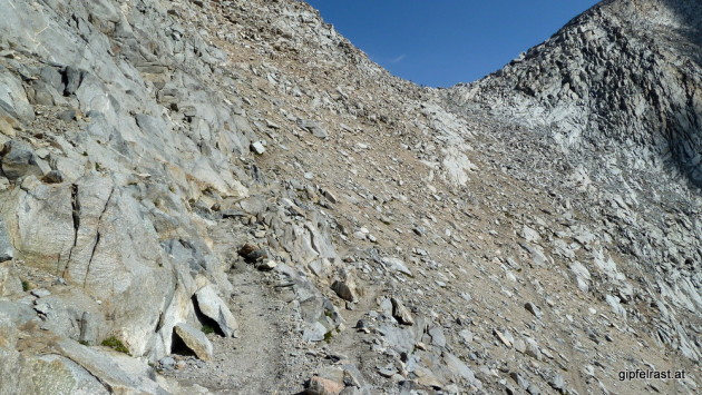
The ascent to Mather Pass was easy, only the last part is a rocky trail. Probably this is one of the only few sections of the John Muir Trail where sturdy hiking boots would have been more comfortable than the trail runners I’m wearing.


The pass and the view into the Upper Basin is probably my favourite place so far. It seems to stretch endlessly to the south, still it is surrounded by high mountains. I like “wide” landscapes like this.
As a bonus someone says, that the weather will stay like this for the coming week – that’s very nice to hear!
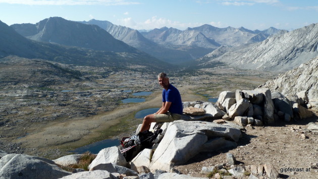
I sit at the pass for over an hour. When I arrive I was alone, but soon more and more hikers are arriving and leaving.
Among them a couple (whose names I forgot – hers was Sherry or Shelley, I think) whom I asked to take some pictures, Frederick (a geology professor, this trail must be a paradise for him) and two younger Americans who loudly boast that they are doing the trail in only so-and-so few days. Fortunately the latter have to leave again very soon.


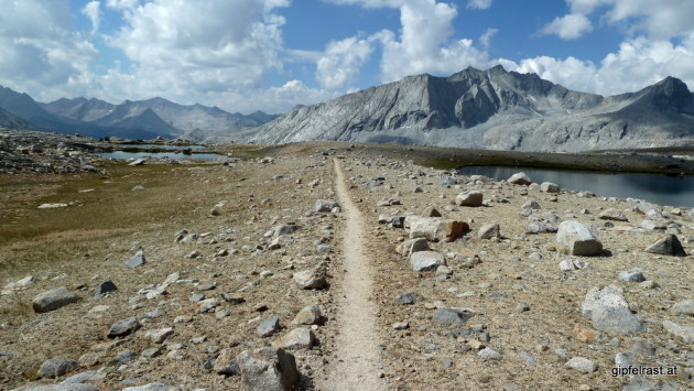
At one point I have to leave as well, but my next break will be at a lake in the Upper Basin to have my delayed breakfast – again what a spot to eat and soak my feet in the cool water!

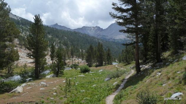
It seems to take ages to walk down the gentle slope through Upper Basin – and I enjoy every single step! This is everything I’ve ever imagined the JMT to be:
A nice and easy trail passing through epic mountain sceneries!
I feel really happy and could just walk on like this forever!


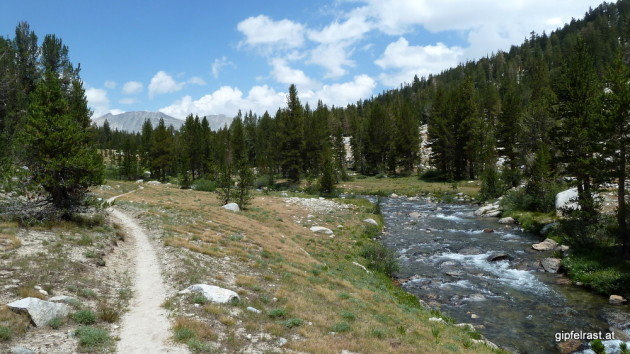
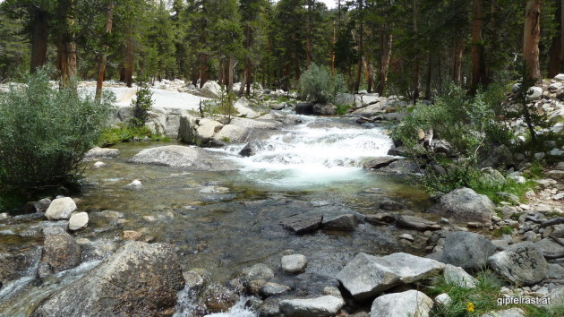
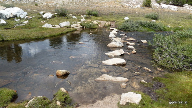
When I reach Kings River it seems impossible to cross dry-footedly. But the couple I’ve met on the pass points me to a fallen log a bit downstream, where I can cross it easily.

I haven’t really made any plans where to camp at night, but everybody seems to be targeting Lake Marjorie below Pinchot Pass, so I guess I’ll just do that, too.
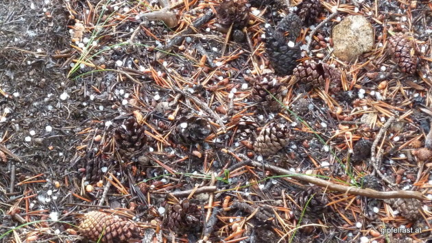
On the short ascent to the lake raindrops start falling again. That is until I notice that the raindrops are bouncing off my jacket – the raindrops are small hailstones! But just as I put on my rain jacket for the third – and last! 🙂 – time on the trail it stops again.

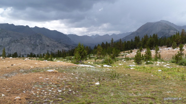
Looking back to Mather Pass gives me a weird feeling. As of today Mather Pass is the highest point I have ever hiked to and now it looks so low surrounded by all the high mountains, even like looking down on it.
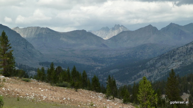
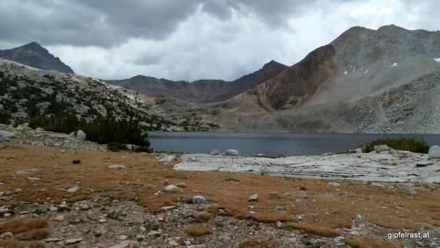
When I arrive at Lake Marjorie I find a campsite with a view of the lake quite quickly. Soon the father-with-two-sons trio that I’ve been meeting again and again since Yosemite (the “astronauts” from Deer Creek) arrives there as well. I wave them in because there is more space available and for tonight we camp together.
Camp is at 11150 ft (3400 m) the highest so far – I know, I keep repeating myself.
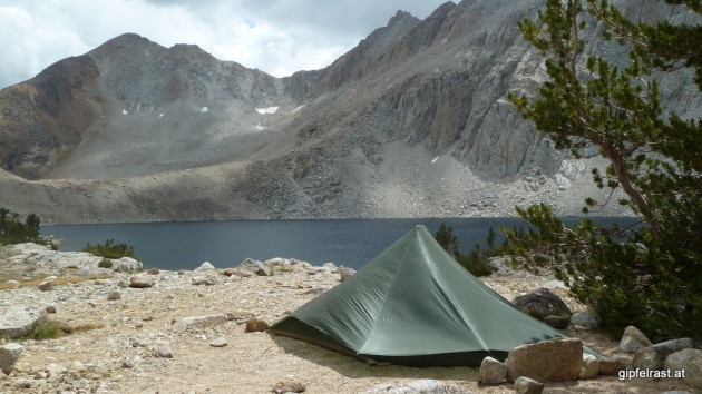
After setting up camp I go and explore a bit when a strange thing happens: Mr. Slow-and-easy-hiking a.k.a. Kevin passes by and is now ahead of me. He apparently teamed up with Melissa and the bearded guy. They announce quite proudly that they will go over Pinchot Pass this afternoon – Two passes a day!
It turns out, that they’ve camped quite close to me yesterday at Lower Palisade Lake. Kevin is asking me to join them, but I’ve already settled in here for tonight. And I guess I will catch up tomorrow morning anyway.


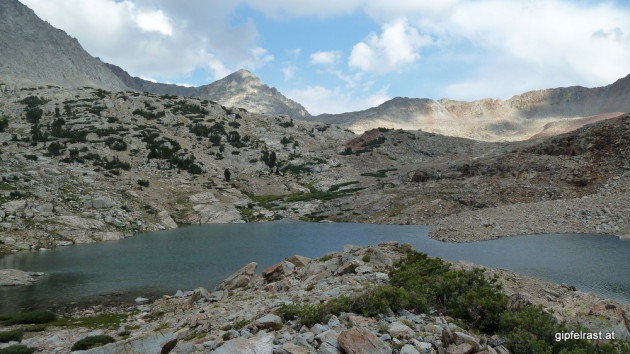
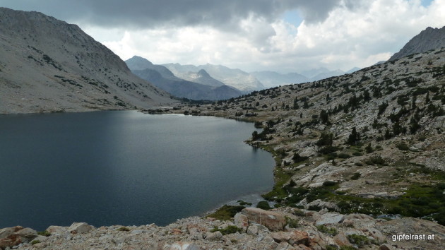
Please forgive me the extensive use of superlatives in this post! But I honestly feel that within this very day the JMT has fulfilled all the expectations I had for this hike. Recently there were some days where I occasionally thought Hmmm, that looks like it does at home… and the weather was rather mediocre. But today was just WOW!
Can it possibly get any better than this?
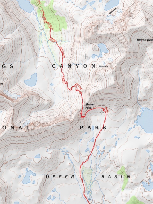
Distance hiked on JMT: 11.8 mi / 19.0 km
Elevation gained: 2600 feet / 800 meters
Time spent hiking (including breaks): 7:30 h
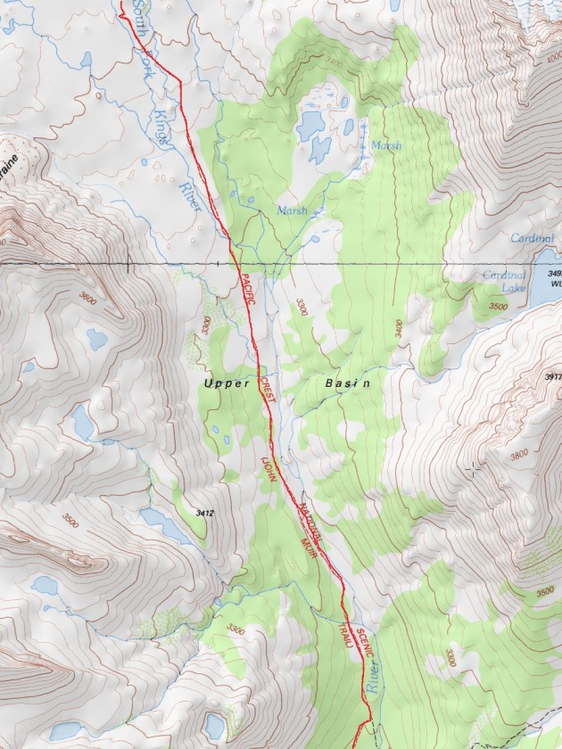
Maps of Day 14:

| <<< Day 13: Rain, Sun and a Monster! <<< | Day 14 | >>> Day 15:Pinchot Pass & Rae Lakes >>> |

Went over Mather Pass in August, 1984, with my step son and his neighborhood friend. We travelled north and later crossed Muir Pass, sleeping in the stone hut there. We hiked 100 miles in about 9 days. I wrote a journal of our wonderful hike.