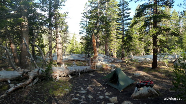
Being lulled into a deep sleep by the noise of the nearby stream I slept very well last night. It was not a cold night, but in the morning there is a lot of condensation on the fly of my tent.
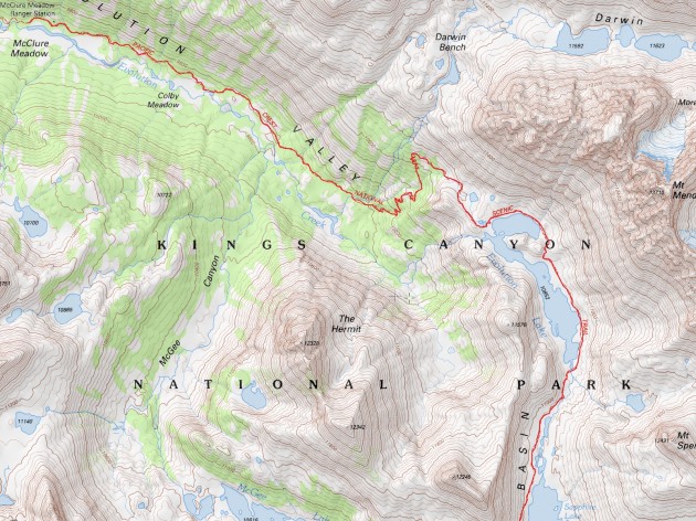
We start at 8 am, the path remains almost flat for a few miles. This is followed by a rather steep 600 ft climb to gorgeous Evolution Lake.
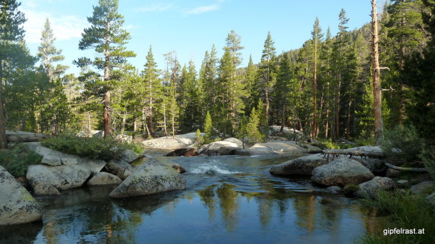
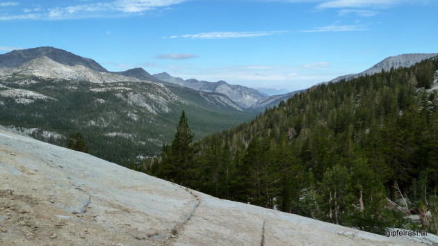
Evolution Lake turns out to be quite big and for a long time the trail runs along its eastern shore.
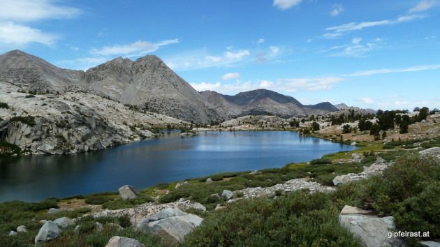
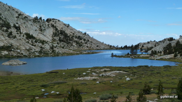
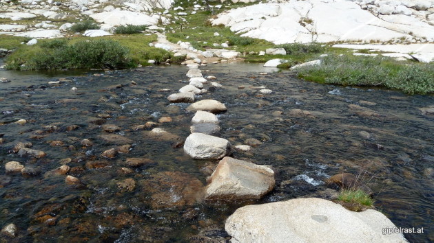
After reaching the southern end of the trail the scenery changes dramatically. During the last days we have mostly walked in forested terrain, but suddenly it looks very alpine.
It seems that we have just started a completely new hike.

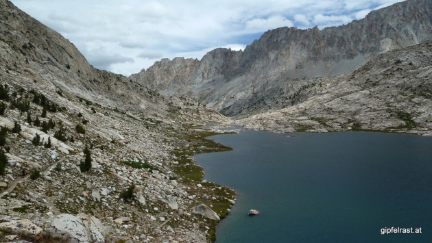
We also seem to be walking along a weather divide today. Looking north and west we see clear blue skies, to the south and east it is rather cloudy. And of course the trail leads us today in a southeastern-ish direction.
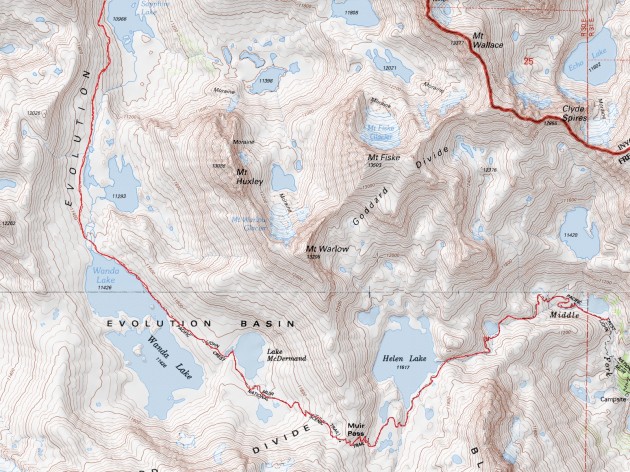
After passing Sapphire Lake the John Muir Trail reaches its highest point so far (up to now Donohue Pass was the only point over 11000 feet)
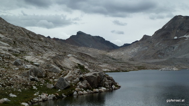
At Wanda Lake in Evolution Basin I think I spot Muir Pass on the horizon, it looks quite high and difficult. But matching my altimeter with the map tells me something is amiss here. I realize that I’m looking at the wrong pass, Muir Pass is much lower and just an easy ascent away from here.
I honestly feel a bit disappointed and cheated. So many hikers claim that Muir Pass is one of the hardest climbs on the entire JMT and then it turns out to be a walk in the park – OK, only if you want to call a tree-less rock desert a “park”. 😉
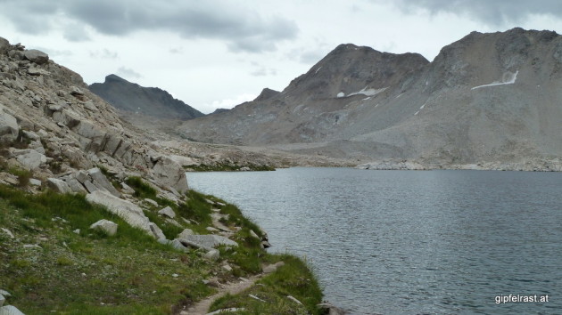
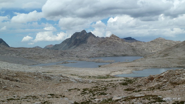
But the scenery is very nice and the easy trail allows me to marvel at the mountains while walking steady uphill.
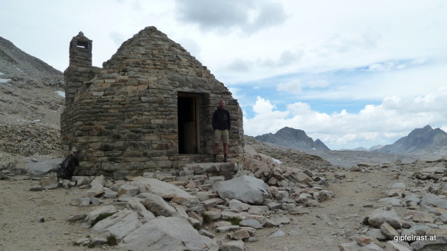
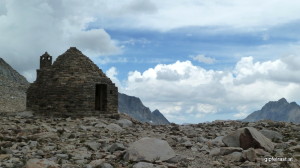
On top of Muir Pass at a whopping 11955 feet (3644 m) there is Muir Hut built by the Sierra Club in 1930.
At that moment I wonder if this is the highest point I’ve ever hiked to…
I know it must be close but I really can’t tell. I know Muir Pass’s elevation only in feet and that of my highest mountain in meters – I have no means of doing an exact conversion on the spot. So stupid that the Americans still use units of measurements based on body parts…
Side note: Back home it turns out that Muir Pass is lacking just 18 meters to the height of Großvenediger‘s summit in the European Alps. But technically that was not a “hike” anymore.
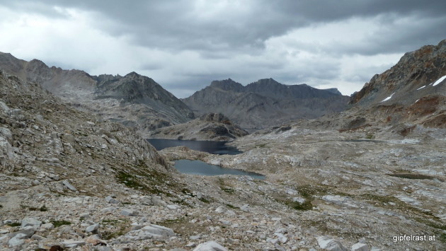
After a while a marmot starts to get a bit too interested in the contents of my backpack – hence it’s time to leave. Originally I had planned to hike to the summit of Black Giant from here, mostly because its the first 4000+ meter high peak along the trail.
The guidebook says Black Giant is an easy talus scramble but from the pass it looks rather steep and uninviting. Also the weather seems to be unstable so I cancel the side trip.
Going down we pass Helen Lake. I have been looking forward to that lake, but today it is too cold for a swim, so I just dip in my finger – brrrr…

Kevin plans to camp at Middle Lake while I actually prefer to carry on down to LeConte Canyon. From here on Kevin wants to hike “only” 12 miles a day, while I think that I don’t have enough food for so many days and prefer to hike longer days.
At Middle Lake there I spot a terrifically scenic campsite, but a hand-written note says that this is an endangered frog habitat and we should use some sites closer to the trail, so we set up our tents there on two tiny sites.
Later during the day we discover a well-hidden sign in a bush, that this is a no-camping zone as well, but being already settled in we decide that we just haven’t seen it. Darn, those signs are really easy to miss!
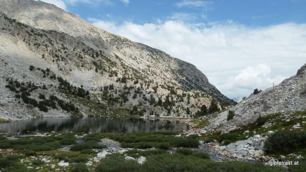
We chat with a few hikers passing by, among them a bearded guy we have already seen at Muir Trail Ranch. With his long beard he looks a bit like a PCT through-hiker but he isn’t.
I’m still worried if my food supply will last and cannot decide whether I should stick with Kevin or speed up my pace. I change my opinion back and forth for maybe a hundred times, in the end I make no decision. Which is technically a decision to stay here, at least for now. I can still decide tomorrow…
At 5:45 pm it starts raining and a rather strong wind picks up so we have to retreat into our tents – once again without dinner.
I’m a bit afraid that the tent would not stand up to the strong gusts because I’ve pitched it across to the wind. But the small site did not leave me any other choice and back in the afternoon when I set up the tent it was a bright sunny day…
Rain and wind are on and off for the entire night. This is the first real bad weather we encounter on the trail. Fortunately we don’t have to hike in this rain!
It turns out that the tent holds up very well and finally I am able to fall asleep. Let’s hope it will be better tomorrow!
Distance hiked on JMT: 10.2 mi / 16.4 km
Elevation gained: 2400 feet / 750 m
Time spent hiking (including breaks): 7:15 h
Maps of Day 12:
| <<< Day 11: Sleeping while Walking… <<< | Day 12 | >>> Day 13: Rain, Sun and a Monster >>> |

A note on the reputation of Muir pass: It isn’t a tough hike by alpine standards, but
– Many JMT hikers seem to have little hiking experience in alpine terrain
– Climbing the pass out of LeConte Canyon is much more strenous than from Evolution Canyon
– You were a bit lucky with snow conditions (i.e. nothing left); the pass can look quite different…
By the way, I really like your trip report!